You are here
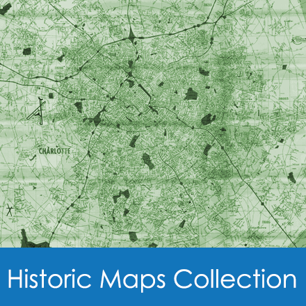
Historic Maps: North Carolina Room Collection
The Carolina Room map collection includes a wide variety of items:
- Historic maps of Charlotte, Mecklenburg County and the Carolinas
- Spratt Maps - plat maps by County Surveyor, early 1900's
- NC Sanborn insurance map
The Carolina Room Historic Maps collection includes a wide variety of items. There are maps in a series, such as the U. S. Geological Survey topographic maps and flood insurance maps. Sanborn fire insurance maps for various cities in North Carolina are available on microfilm, providing a unique record of changes that took place over a period of years. Individual road maps for cities and counties in North Carolina are available as well as road maps for the entire state.
The Carolina Room map collection includes a wide variety of items. There are maps in series, such as the U. S. Geological Survey topographic maps and flood insurance maps. Sanborn fire insurance maps for various cities in North Carolina are available on microfilm, providing a unique record of changes that took place over a period of years. Individual road maps for cities and counties in North Carolina are available as well as road maps for the entire state.
The online catalog of historic maps includes descriptions of each map that follow the same format. For example:
MKb6 (1) Mecklenburg…road map (2).—Lloyd McC. Ross, engineer (3). Scale: ½”-1 mi.(4); 16 ½” x19 ½”(5).—1929 (6). Includes legend of road surfaces, etc. “Compliments of the Charlotte Chamber of Commerce” at top. 3 copies: c.2 lacks “Compliments…:” c.3 includes population information 1930 & estimated population for 1938; reverse has illustrations & “Forward with 1938.” (7)
(1)= locator symbol needed by staff member to find the map
(2)= abbreviated map title
(3)= name of person or agency that produced the map
(4)= Scale as state on map [ns or na (not stated or not applicable) may be used]
(5)= size of map rounded to nearest ½” with width stated first
(6)= date as stated on map [date as stated on map [nd (no date) may be used, but an approximate date will be given in the notes section whenever possible
(7)= notes; any other information deemed useful appears here, including significant variations in copies
Descriptions are arranged in broad geographic or subject categories, and these are subdivided into broad chronological periods represented by the maps. The geographic and chronological division, useful in limiting a search to descriptions of particular interest, are outlined in the Table of Contents.
Borrowers frequently request copies of maps in our collection, and in many cases, we are able to provide this service. Maps that have not been mounted on cardboard, have not been encapsulated, are not in poor condition, and are not copyrighted can be reproduced. The fee is $10.00 for the first map (or sheet) and $5.00 for each additional map or sheet. All fees must be paid in advance, and because payment by credit card will go into the general fund rather than the NCR fund, only cash or check can be accepted. A minimum of seven (7) working days should be allowed for copies to be made.
Those who want to have copies made should provide the staff member with the call number of the map, telephone number, and payment for the copy. A receipt will be issued to the borrower.
Sometimes borrowers want copies to be enlarged or reduced. The company we use may be able to provide the size needed, but there is an extra fee of approximately $20.00. If an estimate is wanted a non-refundable fee of $10.00 must be paid in advance. Once the estimate is obtained, if the borrower decides to order a copy, the fee will be applied to the total cost.
James B., James W., and Thomas Spratt made maps of Mecklenburg County in the late nineteenth and early twentieth centuries. They platted parcels of land throughout the county, showing precise boundaries and the names of neighbors. Many of the original maps have come into the possession of Chuck Ketchie of Charlotte, who has donated copies for viewing in the Carolina Room and made an index to the maps.
The Charlotte Mecklenburg Library subscribes to ProQuest® Sanborn Maps Geo Edition™. ProQuest says about the collection, "Sanborn® fire insurance maps . . . chart the growth and development of thousands of American towns and cities across a century. Because of this scope, urban specialists, social historians, architects, geographers, genealogists, local historians, and others will find the maps a valuable tool." Library cardholders can use this database to search North Carolina towns and cities by address and location.
Several full-color, bound editions of Sanborn maps of Charlotte are available in the Carolina Room. For details, type "Sanborn Maps" in to the library's online catalog.
MAPS ONLINE THROUGH MECKLENBURG COUNTY GIS
The Geospatial Information Services Division of Mecklenburg County has developed an online exhibit of historic maps with the assistance of the Carolina Room. This website is maintained as the Carolina Places in Time Collection. Its purpose is to "locate and digitally preserve maps of historical interest in the Charlotte-Mecklenburg region and allow greater public access to these resources for education and research." Visit their website